 |
| John's photo |
This was a loop trip west to see some of Central Queensland National Parks with friends John, Al and Dell.
 |
| Al and Dell ready to go (Dell's photo) |
 |
| Darryl and Chris leaving home |
We stopped at the lovely Duaringa Rest Area for morning tea, and thought we saw big flocks of birds behind the trees. It wasn't until we returned home and saw Darryl's photos on the big screen that we realised they were flying foxes. (Someone had mentioned them on WikiCamps so I would be concerned about camping the night there).
 |
| (Dell's photo) |
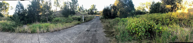
I had thought we would then turn down the Carnarvon Highway to Injune, but John said that the Arcadia Valley road, although gravel, was a nice drive, and it turned out to be lovely. Along the way was Nuga Nuga National Park, a wetlands with Lake Nuga Nuga.
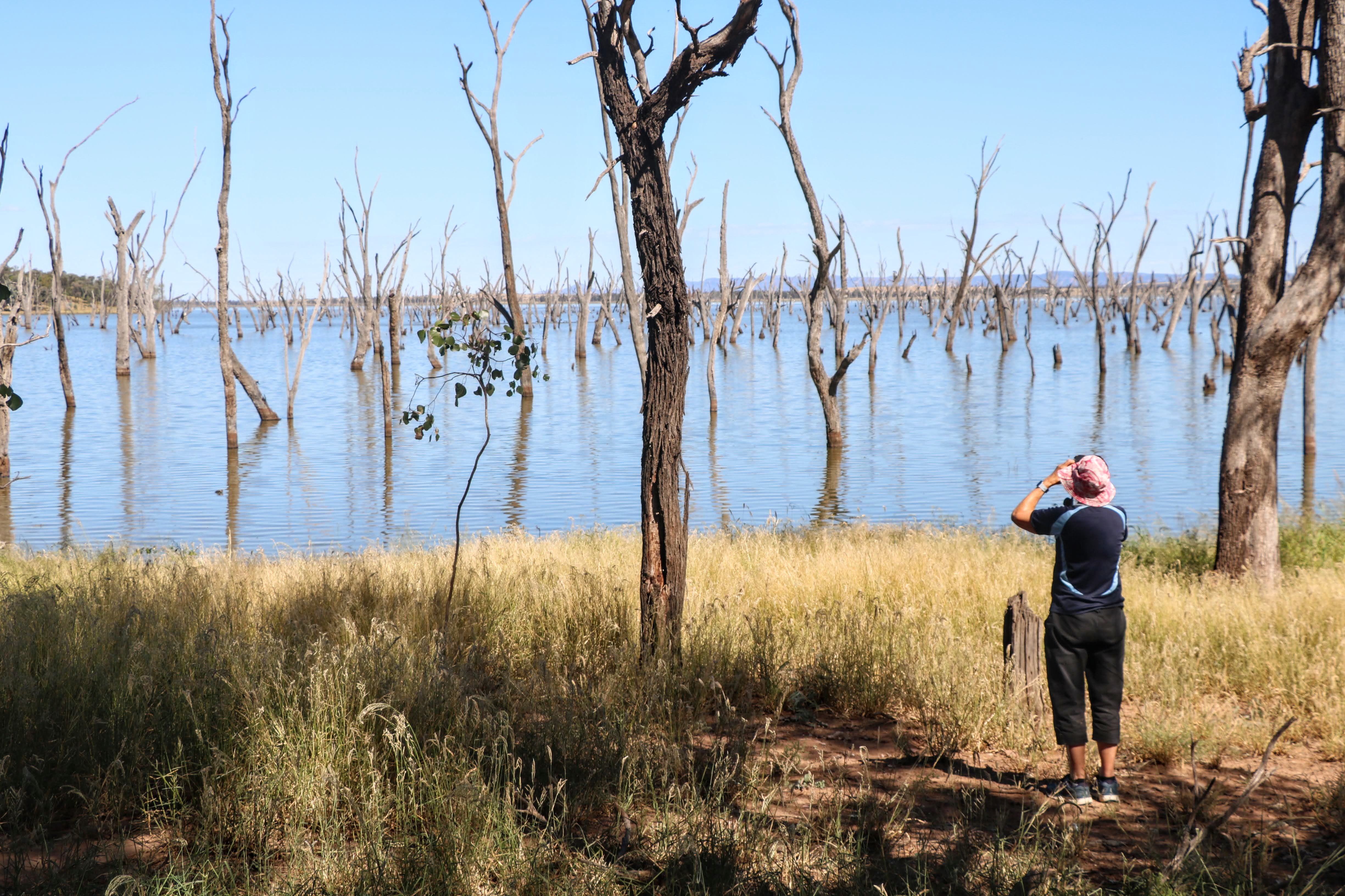
On the main road, before the turn-in, was a number of waterholes which were full of birds, so we were thinking that the lake would be wonderful. Unfortunately, Darryl's prediction of "I bet this is where all the birds are", turned out to be correct. In any case Lake Nuga Nuga looked very interesting, and may be a nice spot for a future camp.  |
| (Dell's photo) |
 |
| (Dell's photo) |
We found a shady spot, away from others camped there, and had lunch. |
| Chris was excited to be here (Dell's photo) |
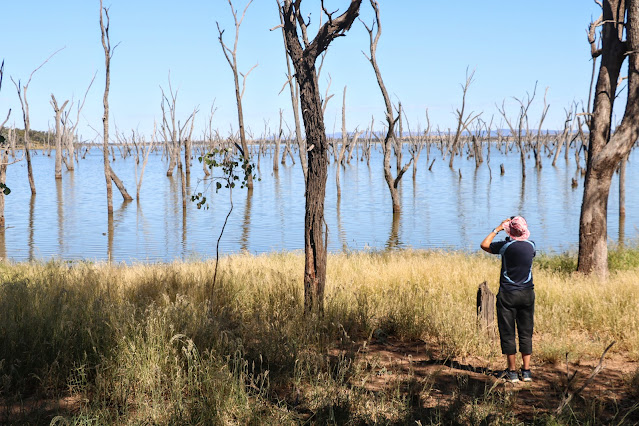 |
| Dell trying to catch a glimpse of the birds (John's photo) |
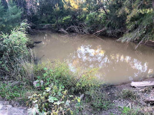
The Acadia Valley road runs along the western edge of Expedition National Park (which has Robinson Gorge where we have been a number of times), and at the southern end is Lonesome National Park.
 |
(Dell's photo)
|
This turned out to be a far more suitable night camp than the roadside gravel pit I had originally planned for.
Lonesome is on a section of the Dawson River, but Darryl was the only one game enough to walk down the steep bank and reported only a small pool. Dell went for a walk and found some larger pools at the River crossing.
 |
| (Dell's photo) |
 |
| (Dell's photo) |
Dinner was heating up pre-prepared food after Happy Hour, and by all reports everyone slept well.


The drive to Mount Moffatt is close to 700km and can be done in one day but it was far less stressful taking the time to enjoy our surroundings (especially after the recent rain) and doing it in two days.
ReplyDeleteThanks for sharing, the areas visited seem to be well worth seeing. Hope that the trailer is everything you wanted it to be, you worked hard and the well earned rewards should be enjoyable camp adventures. A&O
ReplyDelete